 Peekwick
Bogotá
Colombia
A Capital in the Clouds
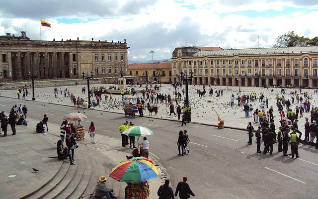
Bogotá sits on a high plateau in the Andes called the Sabana, about two thousand six hundred meters above sea level. To the east, a row of green hills, the Cerros Orientales, closes off the horizon. The city has almost eight million people, and the metropolitan area has many more. It is divided into twenty districts, including La Candelaria, the historic neighborhood. Bogotá is the capital of Colombia and its political, university and cultural center. People often call it cold and gray, but it is lively, colorful and surprisingly welcoming to families.
From the Muiscas to the Conquistadors
Before the Spanish arrived, the plateau belonged to the Muiscas, a people of farmers and goldsmiths. One of their main centers was called Bacatá. In 1538, the conquistador Gonzalo Jiménez de Quesada founded the city of Santafé here, on August 6 according to tradition. It became the capital of New Granada, a large colony of the Spanish crown. Churches, convents and houses with courtyards soon covered the slopes of La Candelaria.
From Independence to Today
On July 20, 1810, an argument over a flower vase started the movement toward independence. The victory at Boyacá, on August 7, 1819, secured the independence of New Granada, the ancestor of Colombia. Bogotá remained the capital. It was nicknamed the Athens of South America because of its schools and libraries. On April 9, 1948, the assassination of the leader Jorge Eliécer Gaitán set off riots, the Bogotazo, which burned part of downtown. Since then, the city has grown and changed a great deal.
How to Read the City
To avoid getting lost, remember that the mountains are to the east. The streets called calles run east to west, and their numbers go up toward the north. The avenues called carreras run south to north, and their numbers go up as you move away from the mountains. An address given as calle 11, carrera 6, is the crossing of those two streets, very close to Bolívar Square. The historic heart is around Bolívar Square, and the modern city stretches north.
A City in the Clouds
Look up and find the green mountains to the east. They are your compass for the whole trip, because they tell you where east is. Bogotá is about two thousand six hundred meters above sea level, higher than Val Thorens, the highest ski resort in France. The air is thinner here, so you will breathe faster. Do not run at full speed on the first day. Almost eight million people live in this city, and every neighborhood has its own character.
The Golden King and the Lake
A very long time ago, the Muiscas lived here. According to legend, when a new king was chosen, he was covered in gold dust and taken out on a lake on a raft. He threw gold into the water to thank the gods. When the Spanish heard this, they dreamed of a city of gold, El Dorado. They never found it, because it did not exist. But at the Gold Museum you will see a little golden raft that shows this ceremony.
The Challenge of the Trip
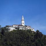
For your whole trip, play Monserrate Hunter. That is the mountain with the little white church at the very top. Try to spot it from five different places in the city: a square, a street, a park, a museum and a restaurant. Each time, write down what you see in the foreground. At the end, compare with your family. Who found the most original view?
The Quiz
In which direction are the mountains that border Bogotá: north, east or south? Answer: east. And what was the golden city that the Spanish searched for called? El Dorado, a city that never existed.
Don't miss
Bolívar SquareMonuments and Squares · 45 min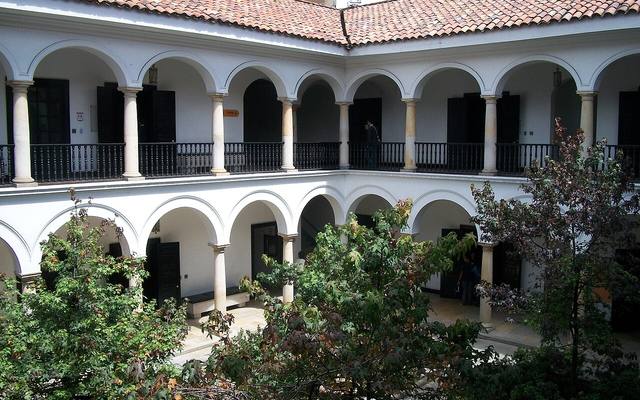 Botero MuseumMuseums · 1 h 15
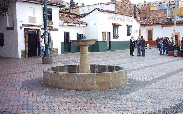 Chorro de Quevedo and Calle del EmbudoNeighborhoods, Markets and Street Art · 45 min
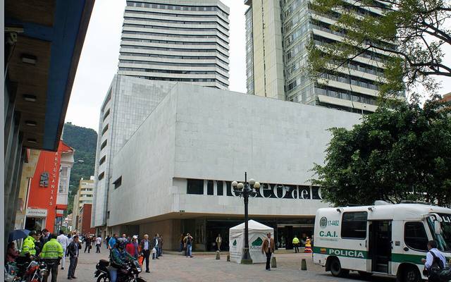 Gold MuseumMuseums · about 2 h
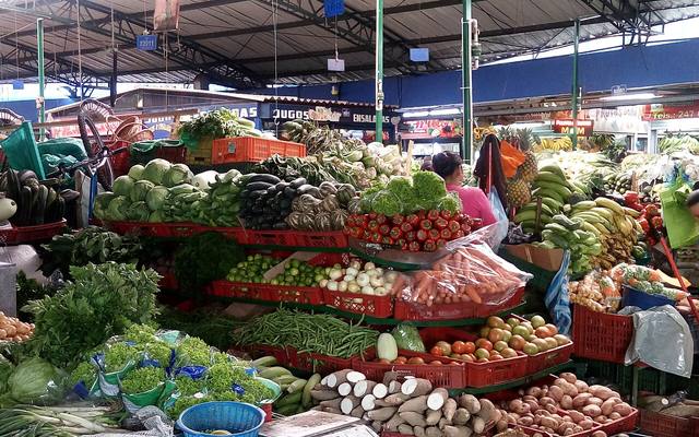 Paloquemao MarketNeighborhoods, Markets and Street Art · 1 h 30
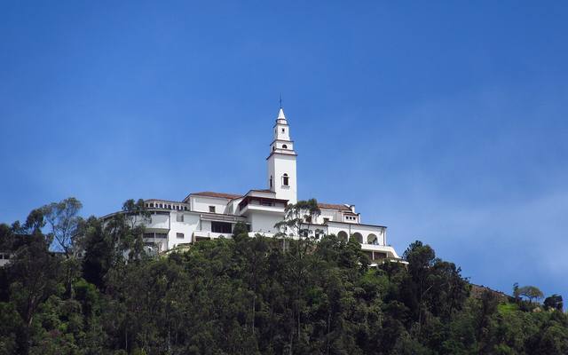 Monserrate HillParks, Mountains and Nature · about 3 h
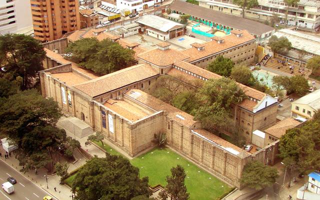 Museo Nacional de ColombiaMuseums · about 2 h
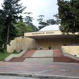
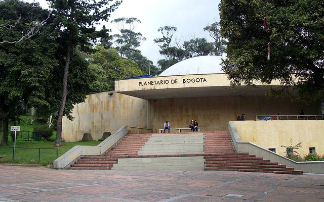 Bogotá PlanetariumScience and Fun · about 2 h
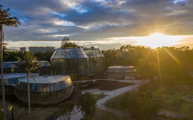 José Celestino Mutis Botanical GardenParks, Mountains and Nature · 2 h 30
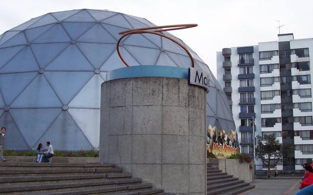 Maloka, the interactive science museumScience and Fun · about 3 h
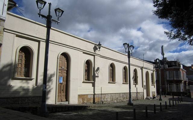 Usaquén, the village and its Sunday marketNeighborhoods, Markets and Street Art · 2 h 30
All places
Monuments and Squares
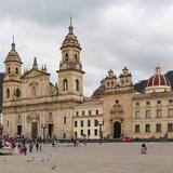
 Bolívar SquareMonuments and Squares · 45 minMust-see
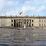 National CapitolMonuments and Squares · 30 min
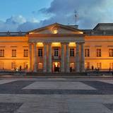 Casa de NariñoMonuments and Squares · 45 min
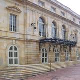 Teatro ColónMonuments and Squares · about 1 h
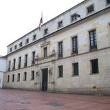 San Carlos Palace and Bolívar's WindowMonuments and Squares · 30 min
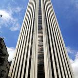 Colpatria Tower and Its Observation DeckMonuments and Squares · about 1 h
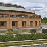 Virgilio Barco LibraryMonuments and Squares · about 1 h
Churches and Convents
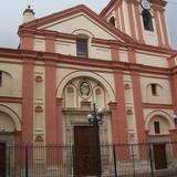
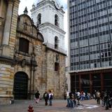
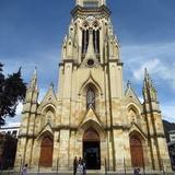
Museums
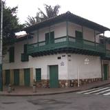 Museum of Independence, Casa del FloreroMuseums · about 1 h
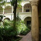 Colonial MuseumMuseums · about 1 h
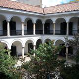 Botero MuseumMuseums · 1 h 15Must-see
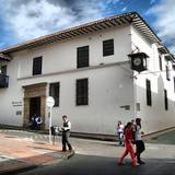 Casa de Moneda MuseumMuseums · 45 min
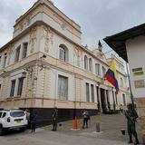 Colombian Military MuseumMuseums · about 1 h
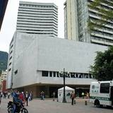 Gold MuseumMuseums · about 2 hMust-see
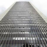 International Emerald MuseumMuseums · 45 min
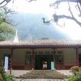 Quinta de BolívarMuseums · 1 h 15
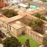 Museo Nacional de ColombiaMuseums · about 2 hMust-see
Parks, Mountains and Nature
Neighborhoods, Markets and Street Art
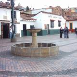 Chorro de Quevedo and Calle del EmbudoNeighborhoods, Markets and Street Art · 45 minMust-see
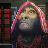 Street Art in La CandelariaNeighborhoods, Markets and Street Art · about 2 h
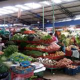 Paloquemao MarketNeighborhoods, Markets and Street Art · 1 h 30Must-see
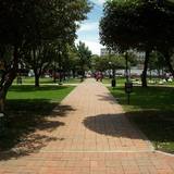 Parque de la 93 and El ChicóNeighborhoods, Markets and Street Art · 1 h 30
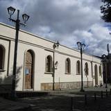 Usaquén, the village and its Sunday marketNeighborhoods, Markets and Street Art · 2 h 30Must-see
Science and Fun

The full stories, the audio, the offline map and the challenges for kids.