 Peekwick
The Chao Phraya River Boats
Bangkok · Rattanakosin, the royal island · Neighborhoods, parks and viewpoints · 1 h 30
A water avenue for Bangkok
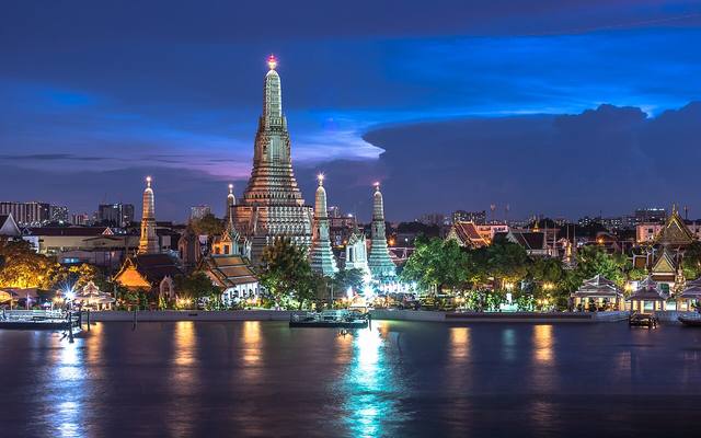
Before roads, there was the river. The Chao Phraya crosses Thailand for 372 kilometers. It begins at Nakhon Sawan, where two rivers, the Ping and the Nan, join. It then flows into the Gulf of Thailand, south of Bangkok. The capital was founded in 1782 on its east bank, a spot also chosen to protect it better from invasions coming from the west. For a long time, people here got around mostly by water. Temples, palaces, and old merchant districts grew up along the river or beside the canals that branch off it, called khlongs. Even today, a boat is a pleasant way to link several sites in this guide without sitting in traffic.
In the app, this story goes on for 7 parts, to read or listen to, with one voice for grown-ups and another for kids.
A bus with no wheels
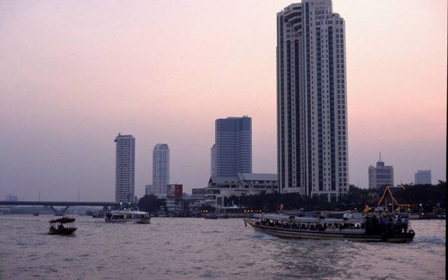
Do you know a bus that has no wheels and rolls on water? In Bangkok, there is one, and thousands of people take it every day to get to work. It is called the boat bus. It is often made of wood. At the back, a platform painted yellow lets people get on and off very quickly, because the boat stops for only a few seconds. Every boat has life jackets, and a ticket collector sells tickets on board.
In the app, this story goes on for 7 parts, to read or listen to, with one voice for grown-ups and another for kids.

The full stories, the audio, the offline map and the challenges for kids.