 Peekwick
Independence Square
Dakar · Plateau, historic heart and port · Markets, neighborhoods and traditions · 45 min
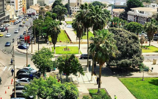
A fort facing Gorée
The modern city of Dakar is recent. In 1857, French soldiers led by a naval officer, Auguste Léopold Protet, took possession of this point of coast, opposite Gorée Island. They built a small fort there and raised the French flag over it. Around it, there were mostly dunes, scrub and Lebou fishing villages, the people of the peninsula. An engineering colonel, Émile Pinet-Laprade, then drew the first plans of the town: a land survey plan in 1858, then a street alignment plan in 1862. The square where you stand long carried the name of Protet, the officer regarded as the founder of the Dakar post.
In the app, this story goes on for 6 parts, to read or listen to, with one voice for grown-ups and another for kids.
The signs on the square
It is August 26, 1958, in the middle of the great square of Dakar. The crowd is huge. A very important guest has arrived from France: General de Gaulle, who leads the French government. In the crowd, young people raise signs. On some of them, there are words in Wolof, the language most people in Dakar speak: "Moom sa reew". It means roughly: take ownership of your country. These young people are asking for independence. That means Senegal wants to decide its own affairs, without France giving the orders.
In the app, this story goes on for 7 parts, to read or listen to, with one voice for grown-ups and another for kids.

The full stories, the audio, the offline map and the challenges for kids.