 Peekwick
Mile End and Montreal Bagels
Montreal · Plateau, Mile End and Little Italy · Neighborhoods, Markets and Views · about 1 h
A village that became a neighborhood
The Mile End has no official borders. It is placed roughly between Mont-Royal Avenue to the south, Van Horne Avenue to the north and Hutchison Street to the west. To the east, the limits vary by source, between de Bullion Street and Saint-Denis Street. Nineteenth-century maps already show a Mile End at the crossing of Saint-Laurent Road and today's Mont-Royal Avenue. The name probably comes from a London suburb of the same name. The railway arrived in 1876 and 1877, with a first station. In 1878, the village of Saint-Louis-du-Mile-End was created. It became a town in 1895, then was annexed to Montreal on January 1, 1910. The neighborhood was then built up around its clothing factories, its churches and its small shops.
In the app, this story goes on for 6 parts, to read or listen to, with one voice for grown-ups and another for kids.
A minute in honey water
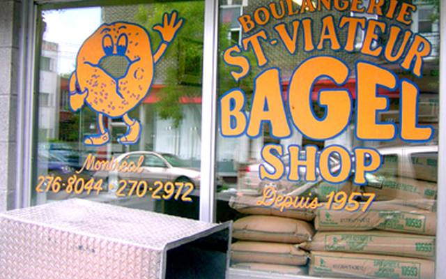
Thirty to sixty seconds: that is how long a bagel spends in a big pot of honey-sweetened water, at one of the Mile End's two big bakers. Then it is laid on a long wooden board and slid into an oven heated with logs. A bagel is a little bread shaped like a ring. In Montreal, it is smaller, thinner and sweeter than the New York one, and its hole is bigger. Bakers roll it by hand, one by one. When it comes out of the oven, it smells of wood and honey.
In the app, this story goes on for 6 parts, to read or listen to, with one voice for grown-ups and another for kids.

The full stories, the audio, the offline map and the challenges for kids.