 Peekwick
Saint-Laurent Boulevard, the Main
Montreal · Plateau, Mile End and Little Italy · Neighborhoods, Markets and Views · about 1 h
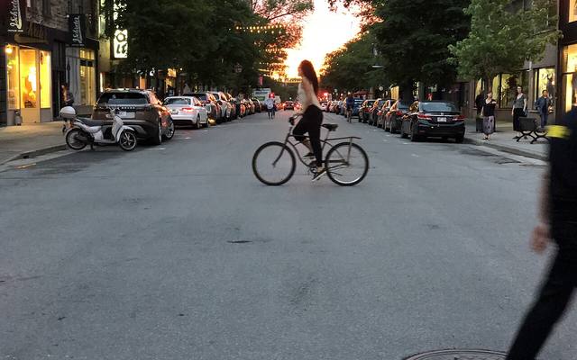
A street that cuts the island
Saint-Laurent Boulevard, nicknamed the Main, crosses the island of Montreal from the river to the Rivière des Prairies, over about eleven kilometers. The nickname comes from the English Main Street. It all began around 1680, when a street was opened on a fief that Maisonneuve had given to Lambert Closse in 1658. It was then called Saint-Lambert Street, in memory of this sergeant-major, killed in 1662 while defending the colony. In 1720, the village of Saint-Laurent was founded farther north, and a road linked it to the town through a gate cut into the fortifications. On October 3, 1905, the city council gave the name Saint-Laurent Boulevard to this whole long road. It was widened in sections: from 1888 to 1892 as far as Sherbrooke Street, then from 1903 to 1905 as far as Mont-Royal Avenue.
In the app, this story goes on for 6 parts, to read or listen to, with one voice for grown-ups and another for kids.
Numbers that grow
Look at the numbers on the doors of Prince-Arthur Street or Sherbrooke Street. The farther you get from Saint-Laurent Boulevard, the bigger they grow. At the boulevard, they start over almost from zero. That is because the City decided, in 1905, that this boulevard would cut Montreal in two: east on one side, west on the other. All the addresses are counted from it. It is about eleven kilometers long and crosses the island from end to end, from the river to the Rivière des Prairies. People also call it the Main, because it is the main street, like Main Street in English.
In the app, this story goes on for 6 parts, to read or listen to, with one voice for grown-ups and another for kids.

The full stories, the audio, the offline map and the challenges for kids.