 Peekwick
Saint-Louis Square and the Plateau Houses
Montreal · Plateau, Mile End and Little Italy · Neighborhoods, Markets and Views · about 1 h
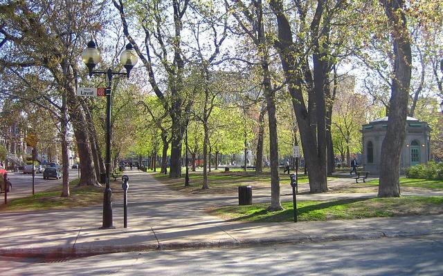
A reservoir turned garden
Saint-Louis Square stretches between Sherbrooke Street and Pine Avenue, from Saint-Denis Street to Laval Avenue. On September 2, 1848, the City of Montreal bought this land to build a water reservoir for the city. The reservoir opened in June 1851 and was first named Jean-Baptiste. When another reservoir made it unnecessary, the site became a public park. In 1880, the embankment that held the water was leveled, the basin was redone and the paths were laid out. According to the City, the origin of the name is uncertain. It may come from a family of contractors named Saint-Louis who owned several lots around here, or from the neighborhood itself, named for Saint-Louis Hill in the old city. In Quebec, people also say le carré Saint-Louis.
In the app, this story goes on for 5 parts, to read or listen to, with one voice for grown-ups and another for kids.
A sixteen-year-old poet
His name was Émile Nelligan, and at sixteen he was already publishing his first poems. His family lived very close to this square, on Laval Avenue. His best-known poem is called The Golden Ship. In it, he writes about a great ship made of gold that ends up sinking into the sea. At nineteen, Nelligan became seriously ill, and he spent the rest of his life being cared for in a hospital. But his poems kept on traveling. In the square, a bust has honored him since 2005. There is a second, older one, for another poet.
In the app, this story goes on for 6 parts, to read or listen to, with one voice for grown-ups and another for kids.

The full stories, the audio, the offline map and the challenges for kids.