 Peekwick
The Embarcadero and the Bay Bridge
San Francisco · Embarcadero and the Ferry Building · Neighborhoods, streets and views · 45 min
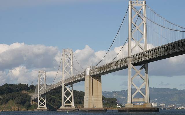
The name of a landing
Embarcadero is a Spanish word for the place where you board. San Francisco's waterfront has not always been where it is today. Originally, the shore ran much farther inland, to today's Montgomery Street, and formed a cove called Yerba Buena Cove. For more than fifty years, a great seawall was built and the mudflats behind it were filled in. The business district now rises on this fill. The boulevard follows this wall, about five kilometers long, and the piers start from there. During World War II, almost every pier was used to ship out soldiers and equipment for the Pacific war.
In the app, this story goes on for 7 parts, to read or listen to, with one voice for grown-ups and another for kids.
A name from Spain
Do you know why this big avenue by the water is called the Embarcadero? It is a Spanish word, which comes from a verb meaning "to go on board." So an embarcadero is the place where you board. Piers run from the boulevard out into the bay. In the middle of the roadway, look at the rails. North of the Ferry Building, they are the F line's. Old streetcars from cities around the world run there, such as Milan, Melbourne or Osaka. The ones from Milan are often orange.
In the app, this story goes on for 7 parts, to read or listen to, with one voice for grown-ups and another for kids.

The full stories, the audio, the offline map and the challenges for kids.