 Peekwick
Suzhou Creek Riverbanks
Shanghai · Jing'an and Suzhou Creek · Parks and Gardens · 1 h 30
The river that divides
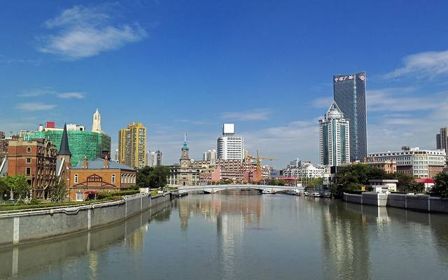
Suzhou Creek, also called the Wusong, is a waterway about 125 kilometers long. It rises near Lake Tai, in the neighboring province, and flows into the Huangpu at the end of the Bund. Its name comes from the city of Suzhou, which it leads toward upstream. In the history of Shanghai, it often served as a border. After the Treaty of Nanjing in 1842, the British settlement lay on the south bank, and the Americans settled in the north. In 1863, the two zones merged to form the International Settlement. Waibaidu Bridge, at the river mouth, is one of the symbols of that era.
In the app, this story goes on for 5 parts, to read or listen to, with one voice for grown-ups and another for kids.
The stinking river
Can a river so dirty that it smells bad from far away become clean again? In Shanghai, yes. This was Suzhou Creek, long ago, and people called it the stinking river. Then the city decided to clean it up. The work lasted twelve years. Today, the water is much cleaner, fish are coming back, and people walk along its banks.
In the app, this story goes on for 6 parts, to read or listen to, with one voice for grown-ups and another for kids.

The full stories, the audio, the offline map and the challenges for kids.